Log in
All resources
Create a design
5,541 Free Images of Map Jet
david rumsey historical map collection
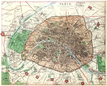
maps of paris from the david rumsey historical map collection
maps in the library of congress
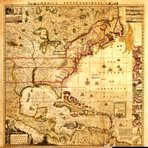
a map of the british empire in america with the french and spanish settlements adjacent thereto
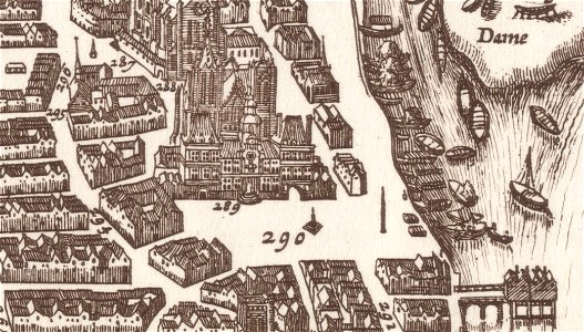
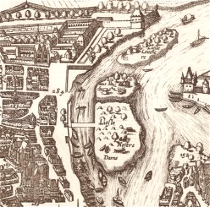
map of paris by claes jansz. visscher - derivate files
j. and p. knapton
maps by emanuel bowen
jr
william darton
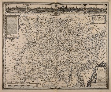
christian gottfried daniel stein
historical images of the place dauphine (paris)
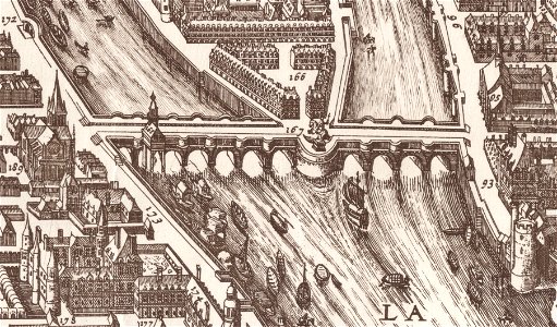
historical images of pont neuf
german-language maps showing history of europe
david rumsey historical map collection
maps of paris from the library of congress
maps in the library of congress
david rumsey historical map collection
j. and p. knapton
david rumsey historical map collection
jr
french-language maps
1770 maps
the hague stork in art
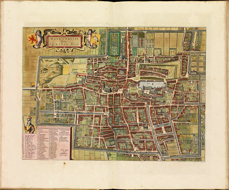
old maps of the hague
maps by hendrik hondius the younger
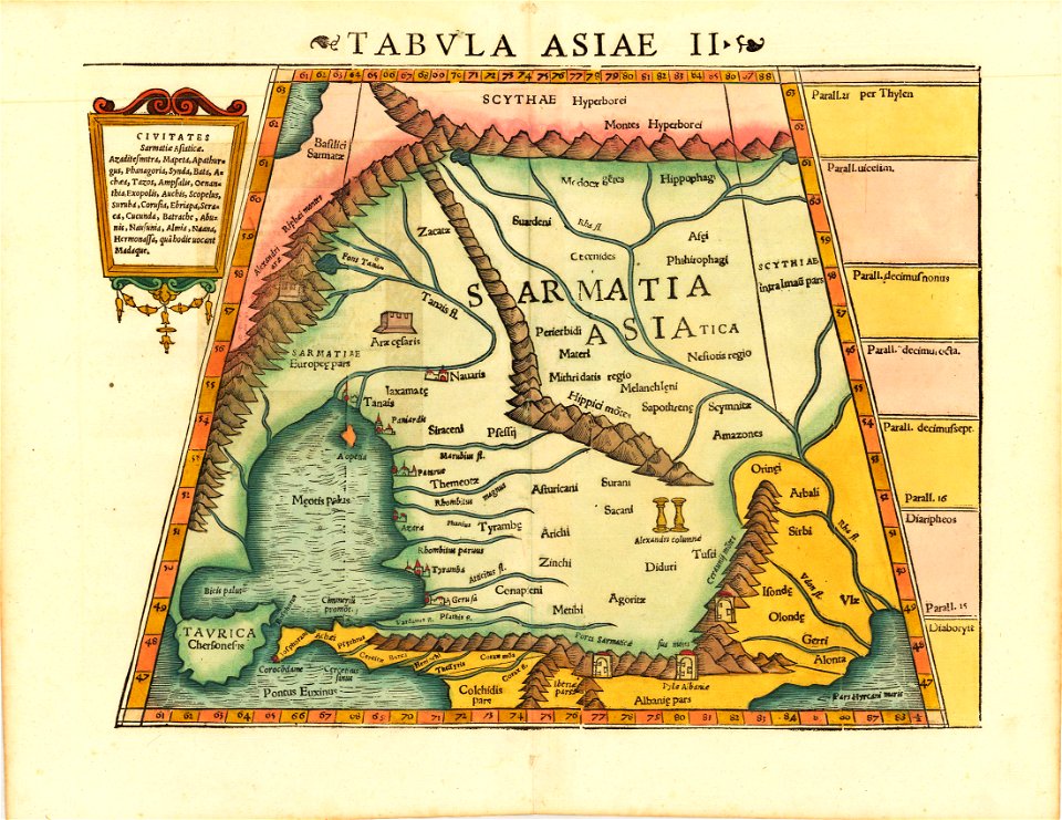
latin-language maps
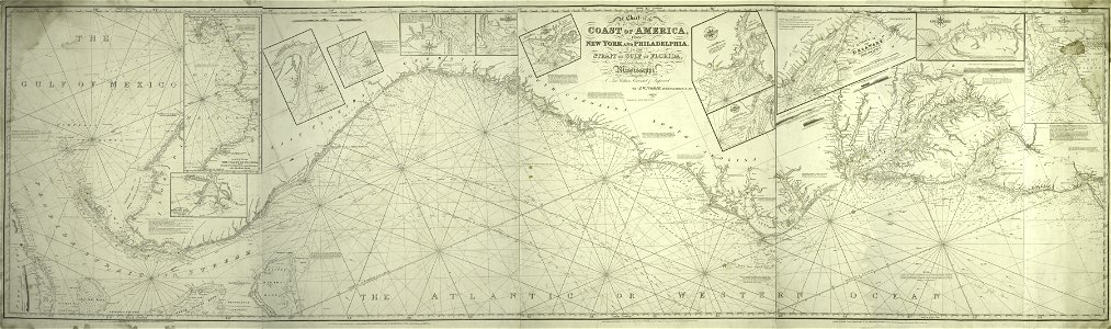
new york
1891 map
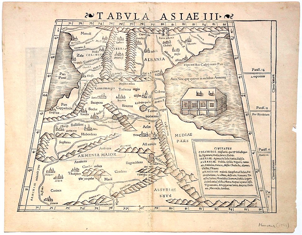
cosmographia claudii ptolomaei alexandrini
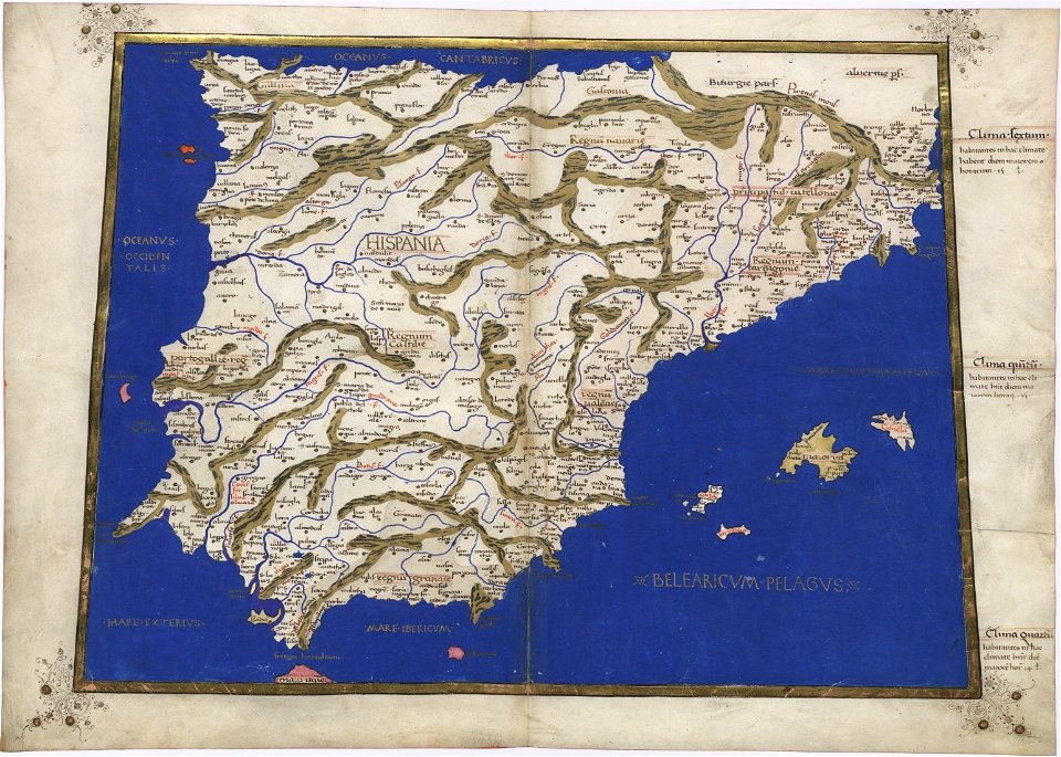
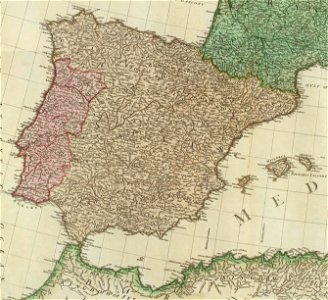
old maps of galicia (spain)
david rumsey historical map collection
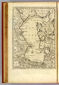
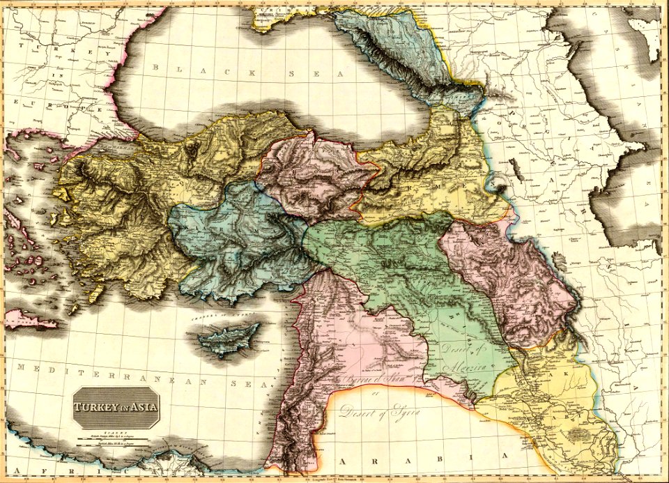
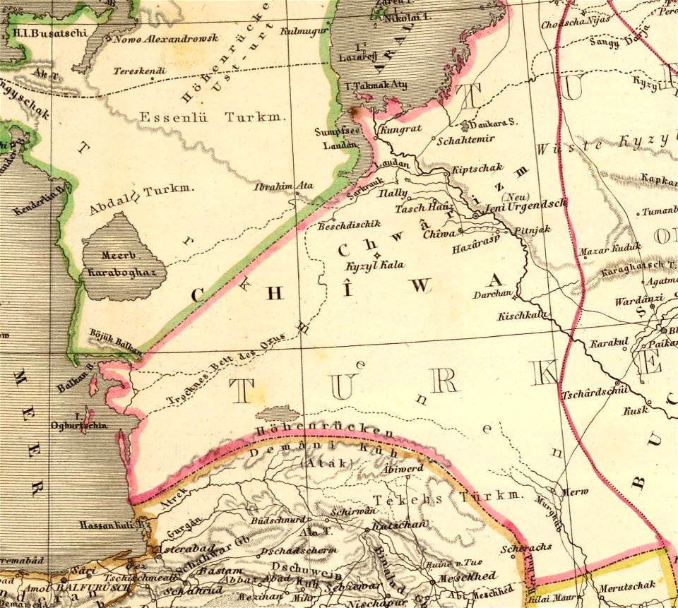
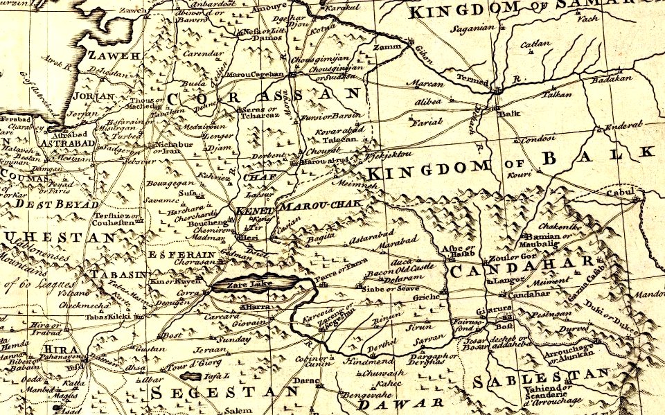
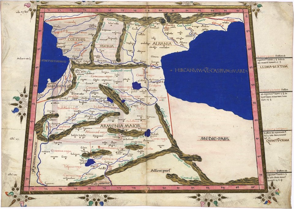
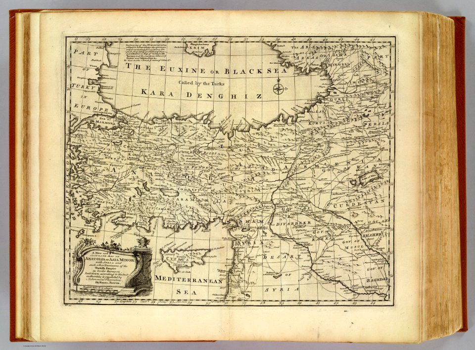
old maps of the middle east
david rumsey historical map collection
old maps of the middle east
david rumsey historical map collection
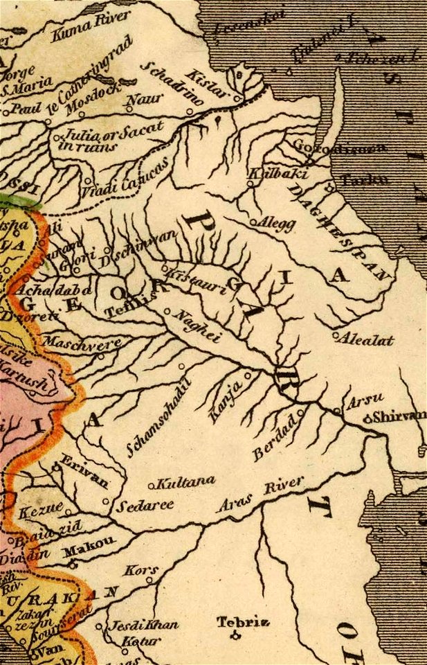
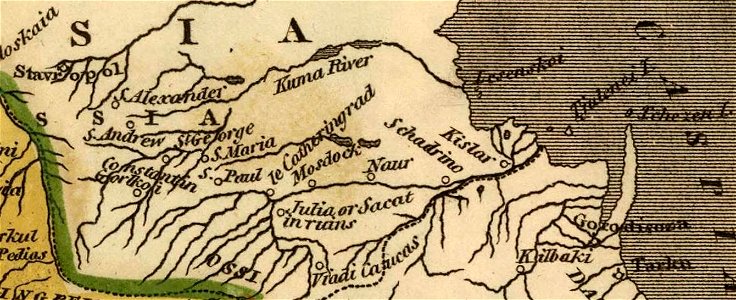
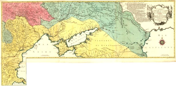
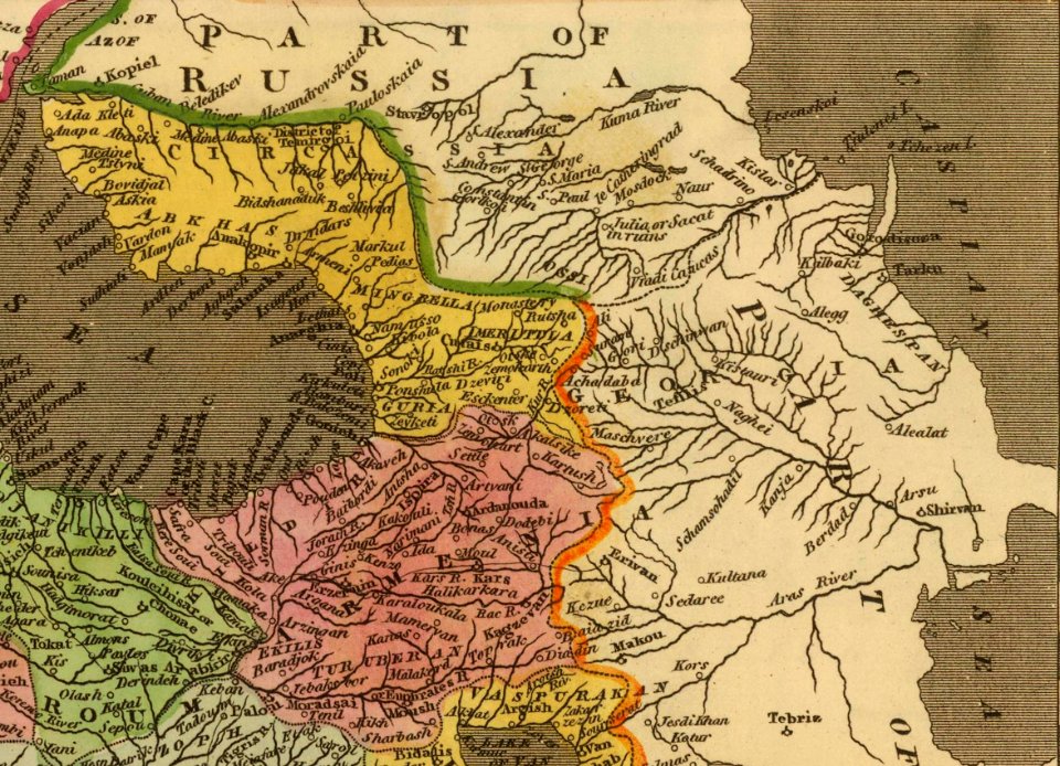
maps of the south caucasus
latin-language maps
1725 maps
david rumsey historical map collection
german-language maps
military
vehicle
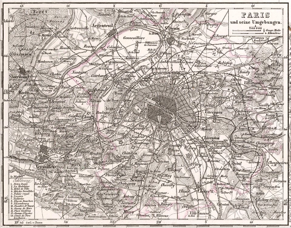
old maps of france
1873 in paris
map of paris by claes jansz. visscher - derivate files
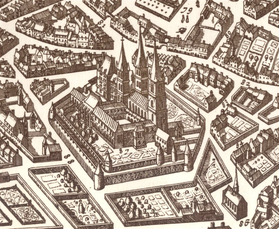
historical images of abbaye de saint-germain-des-prés
maps in the library of congress
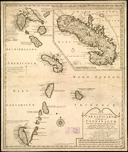
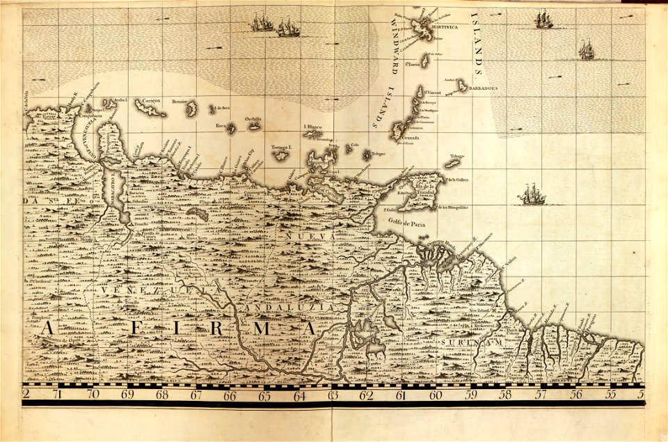
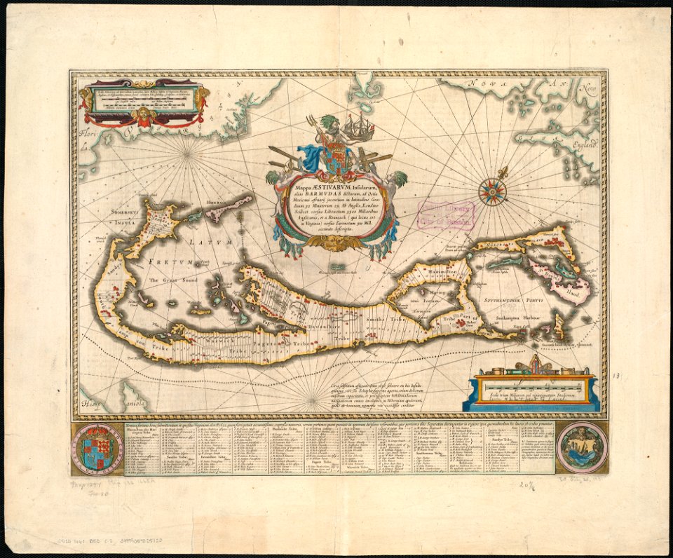
18th-century maps of barbados
maps in the library of congress
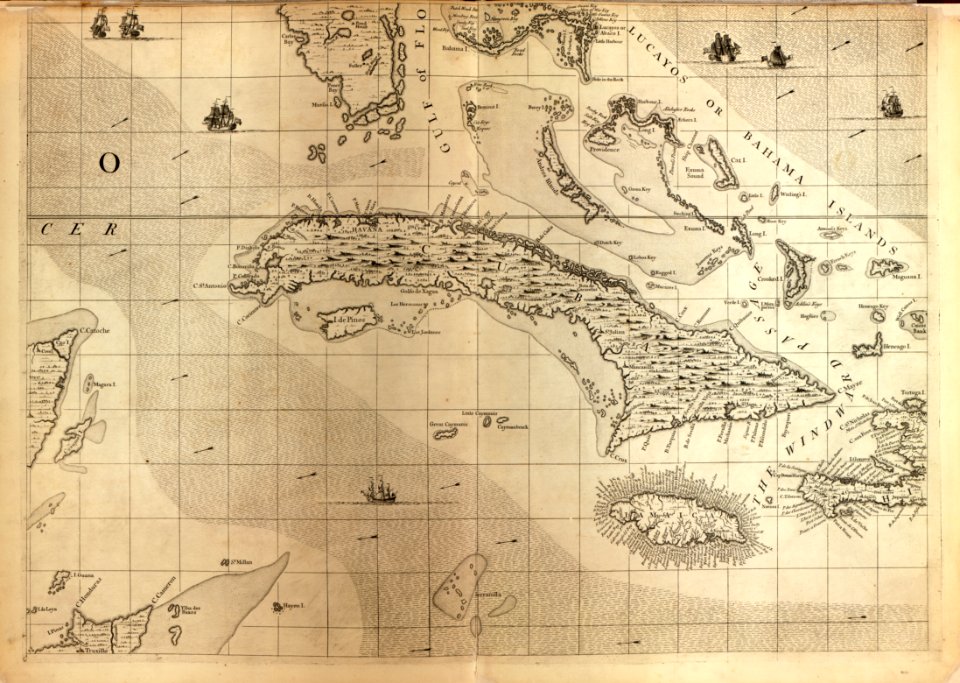
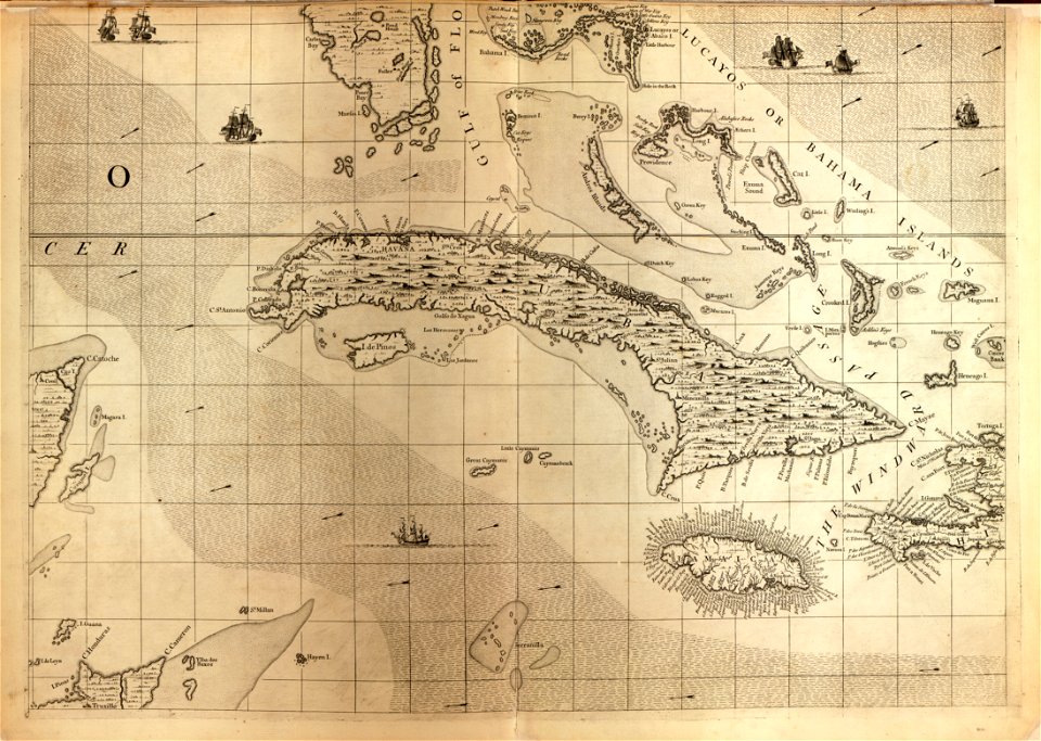
18th-century maps of cuba
maps in the library of congress
18th-century maps of cuba
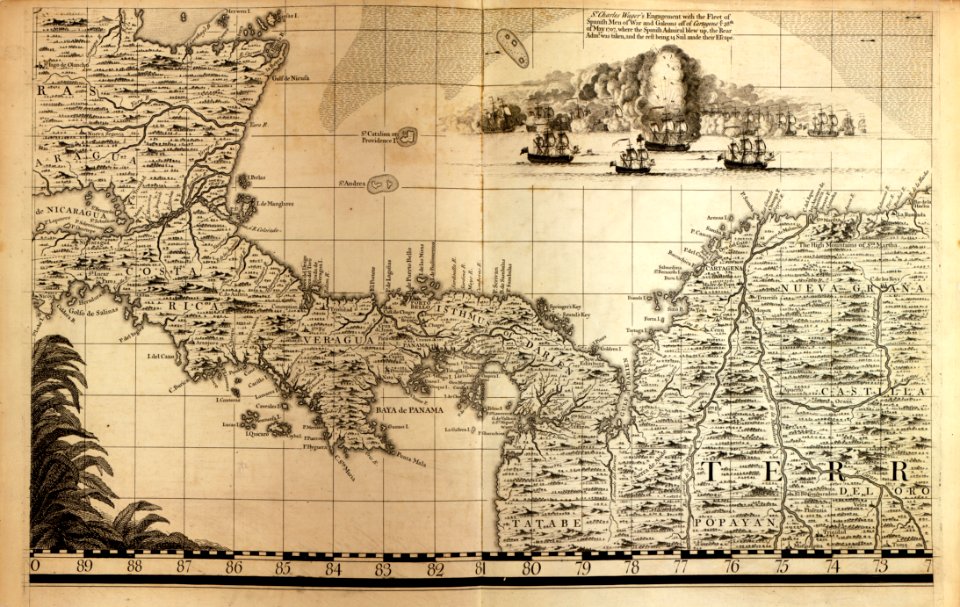
a map of the british empire in america with the french and spanish settlements adjacent thereto
maps in the library of congress
a map of the british empire in america with the french and spanish settlements adjacent thereto
maps in the library of congress
maps in the library of congress
18th-century maps of barbados
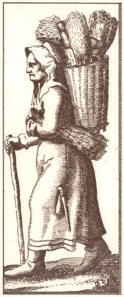
history of fashion in paris
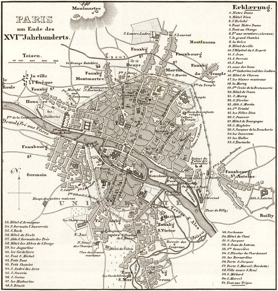
paris in the 17th century
david rumsey historical map collection
j. and p. knapton
david rumsey historical map collection
j. and p. knapton
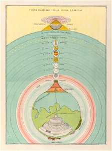
geocentric model
world map
history of fashion in paris
paris in the 17th century
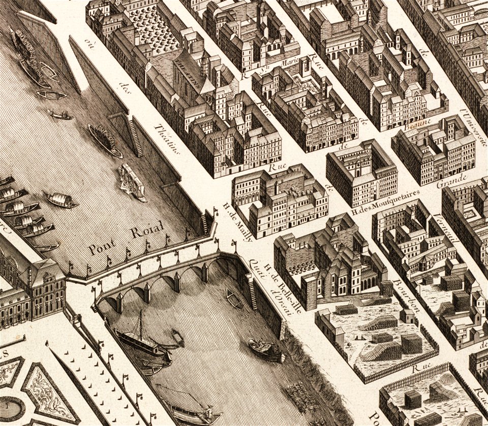
historical images of pont royal
musketeers of the guard
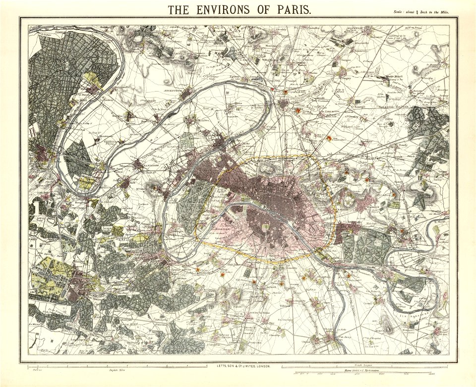
maps of paris in the 1880s
1883 in paris
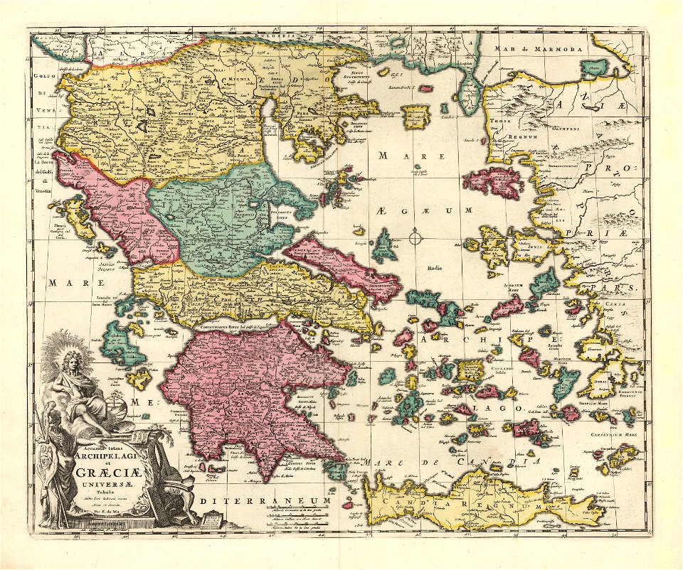
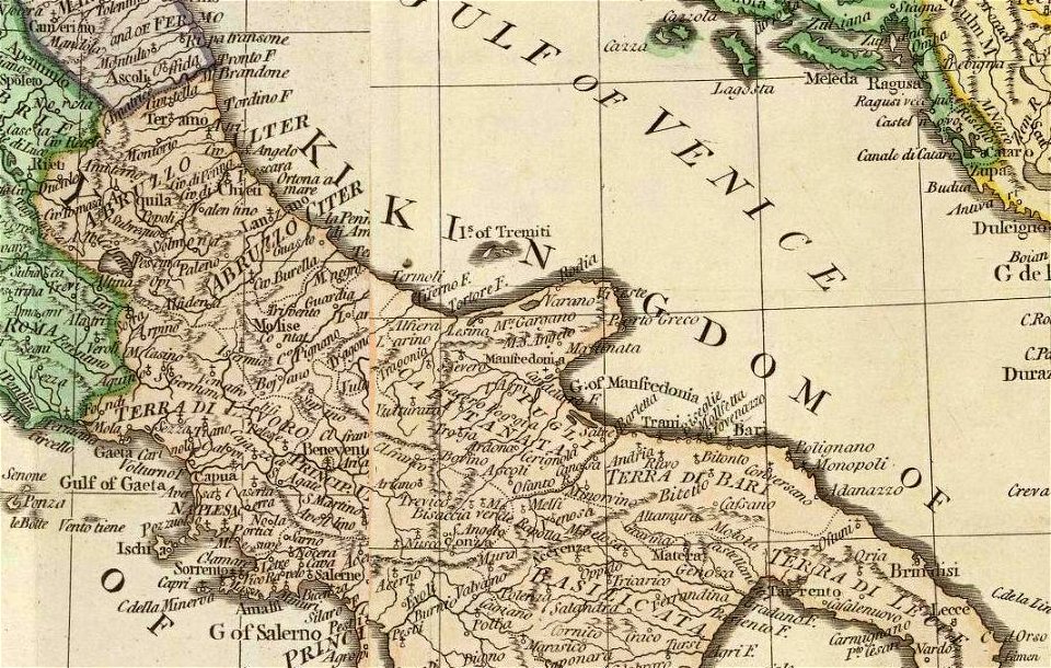
old maps of the aegean sea
old maps of greece
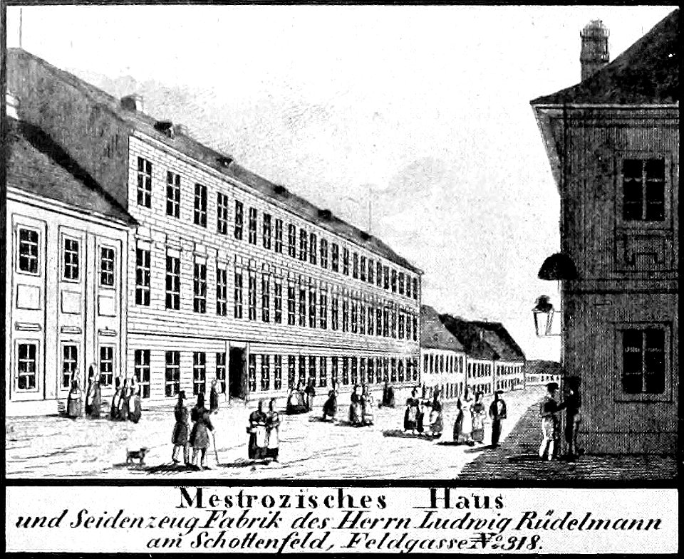
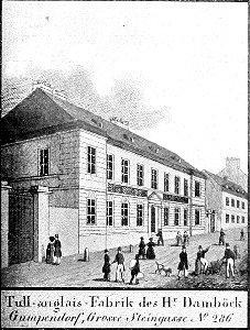
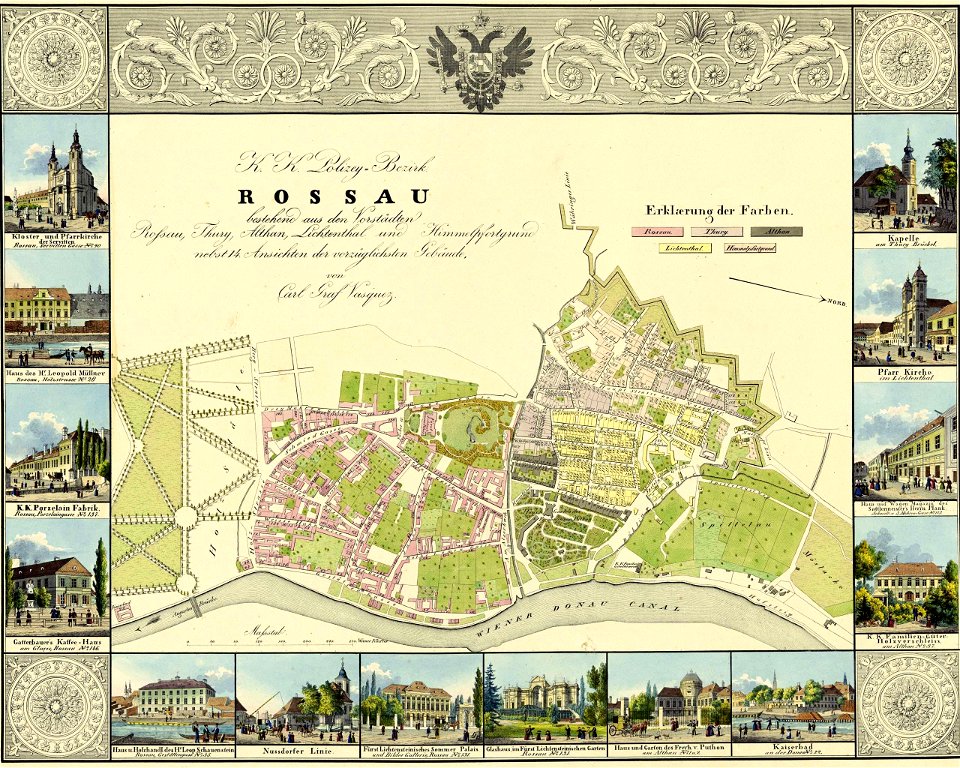
historical images of neubau
vienna in the 1830s
heinrich petri (printer)
maps with cartouches
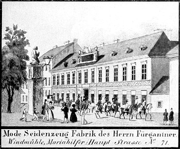
historical images of mariahilf
vienna in the 1830s
history of fashion in paris
paris in the 17th century
historical images of landstraße
palais rasumofsky
gilles-marie oppenord
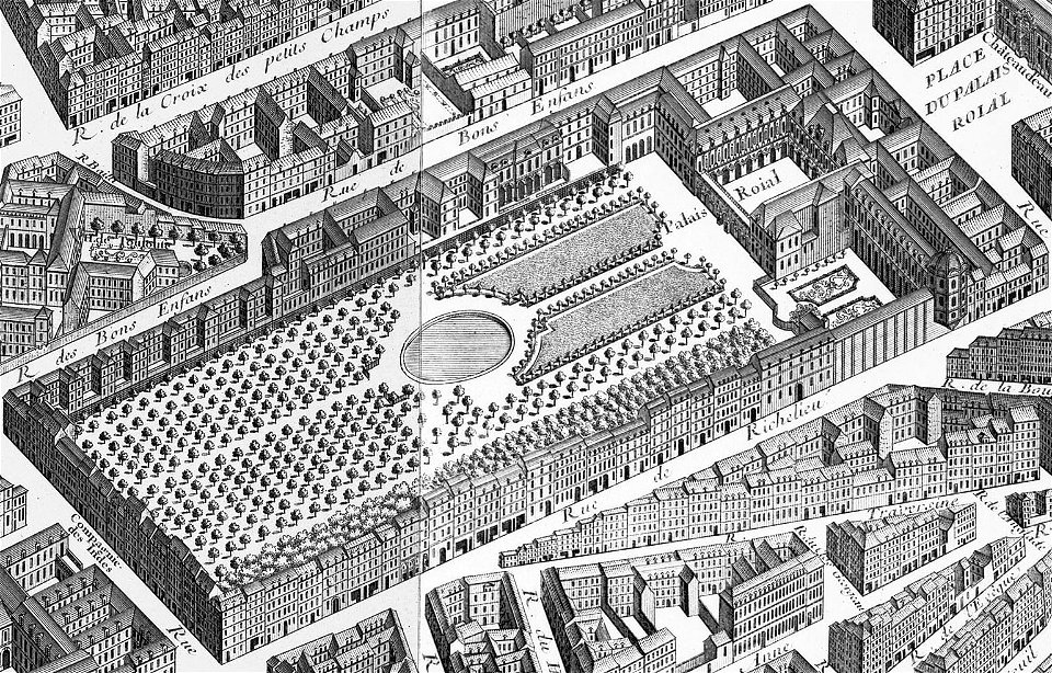
palais-royal
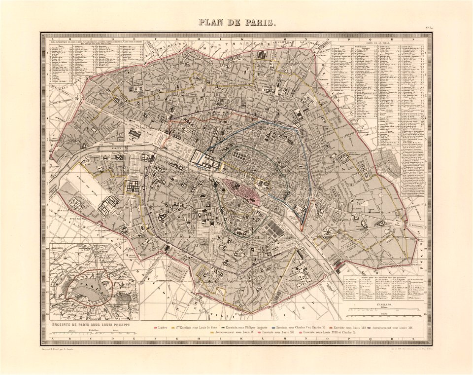
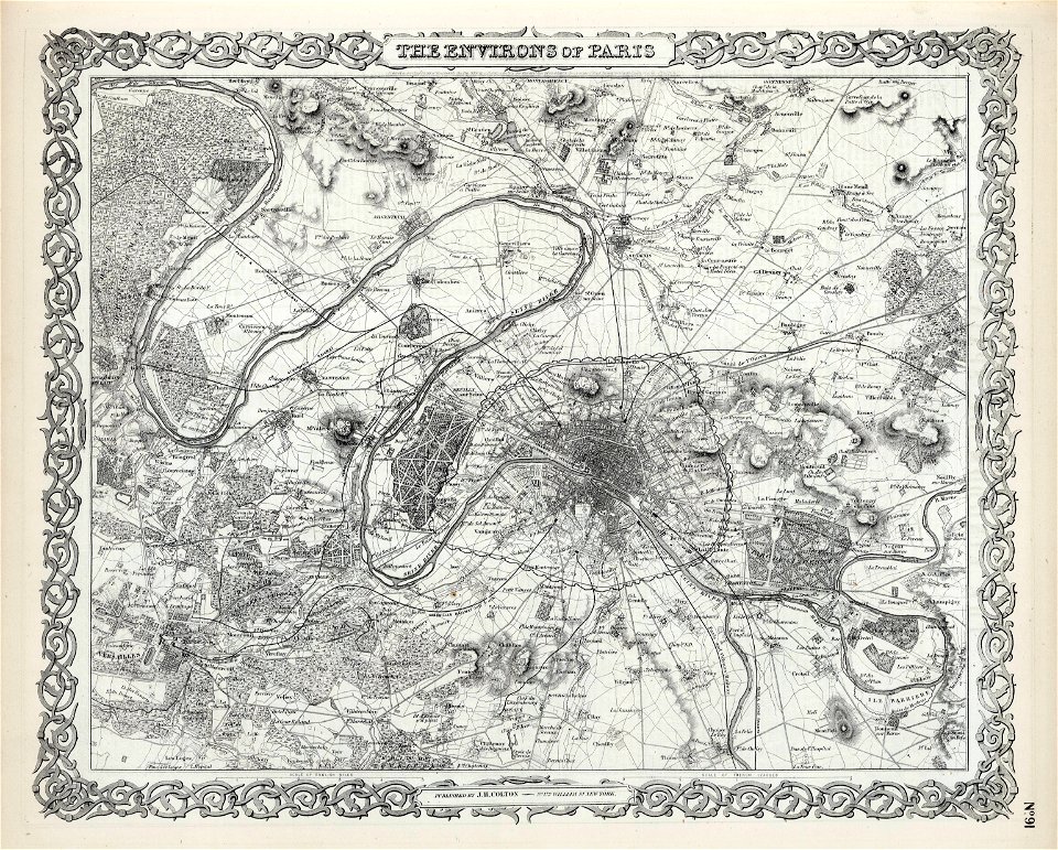
maps of paris from the david rumsey historical map collection
karl spruner von merz
1862 in paris
1862 maps
a map of the british empire in america with the french and spanish settlements adjacent thereto
maps in the library of congress
a map of the british empire in america with the french and spanish settlements adjacent thereto
maps in the library of congress
a map of the british empire in america with the french and spanish settlements adjacent thereto
maps in the library of congress
a map of the british empire in america with the french and spanish settlements adjacent thereto
maps in the library of congress
david rumsey historical map collection
jr
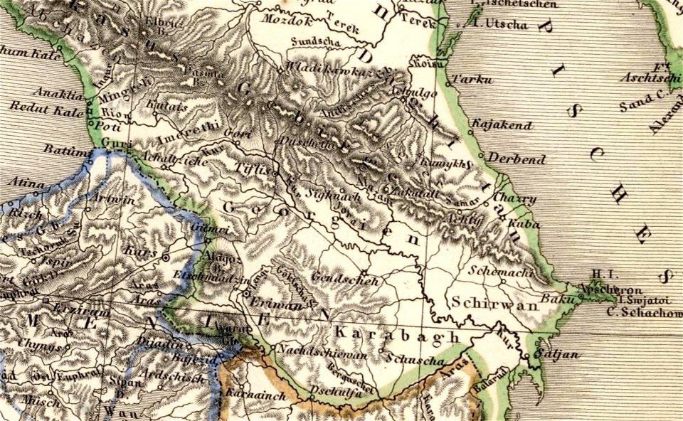
16th-century maps of georgia
maps by sebastian münster
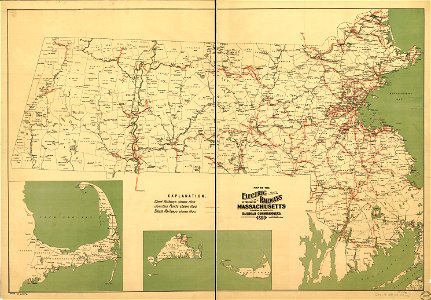
maps by george h. walker and company
maps in the library of congress
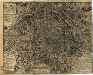
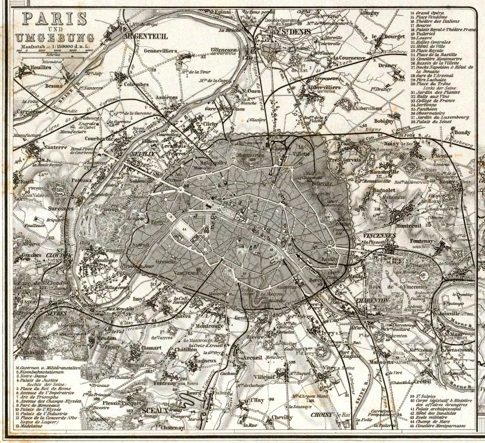
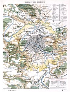
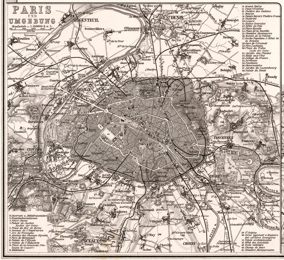
1900s maps of paris
1900 in paris
maps made in the 17th century
maps by nicolaes visscher i
historical images of mariahilf
vienna in the 1830s
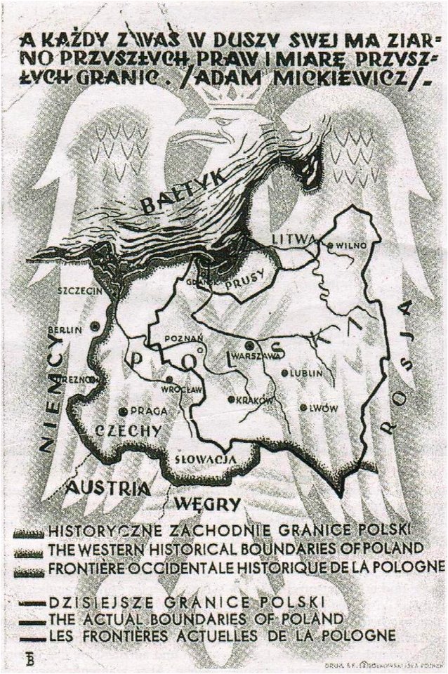
greater poland
map postcards
maps of paris from the david rumsey historical map collection
paris in the 16th century
palais liechtenstein (fürstengasse)
vienna
david rumsey historical map collection
maps by william faden
david rumsey historical map collection
german-language maps
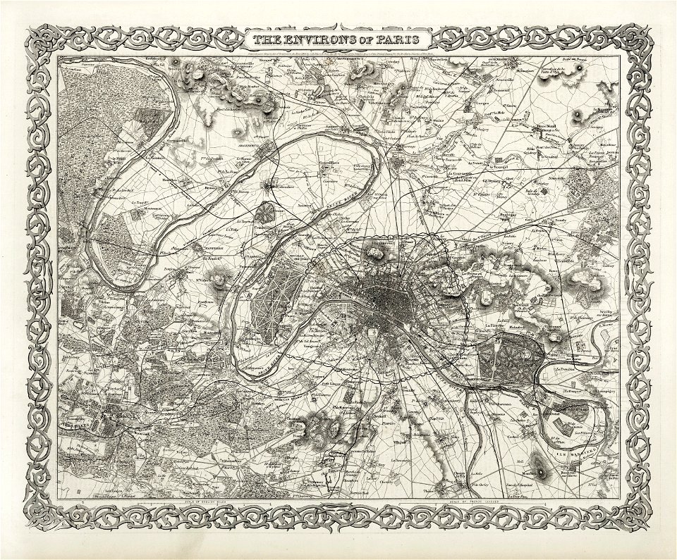
maps of paris from the david rumsey historical map collection
1866 in paris
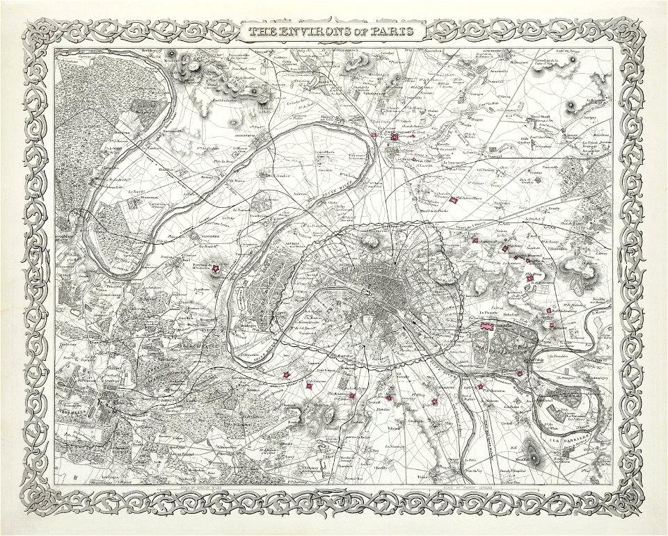
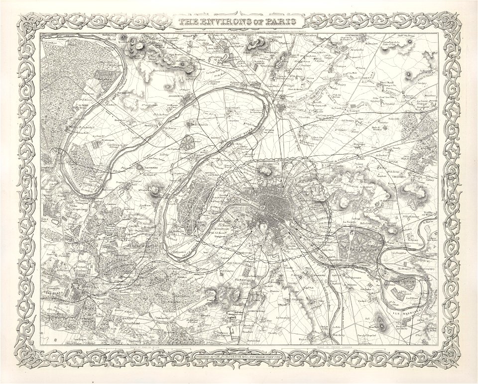
maps of paris from the david rumsey historical map collection
1873 in paris
david rumsey historical map collection
maps by frederick de wit
david rumsey historical map collection
j. and p. knapton
old maps of the ottoman empire
old maps of poland
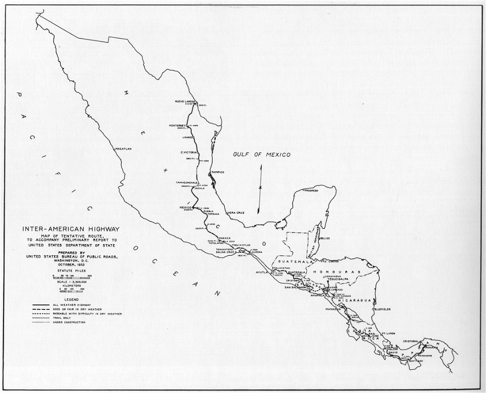
1933 in road transport
road map
historical images of place de l'hôtel-de-ville - esplanade de la libération
historical images of hôtel de ville de paris
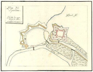
city walls of berlin-spandau
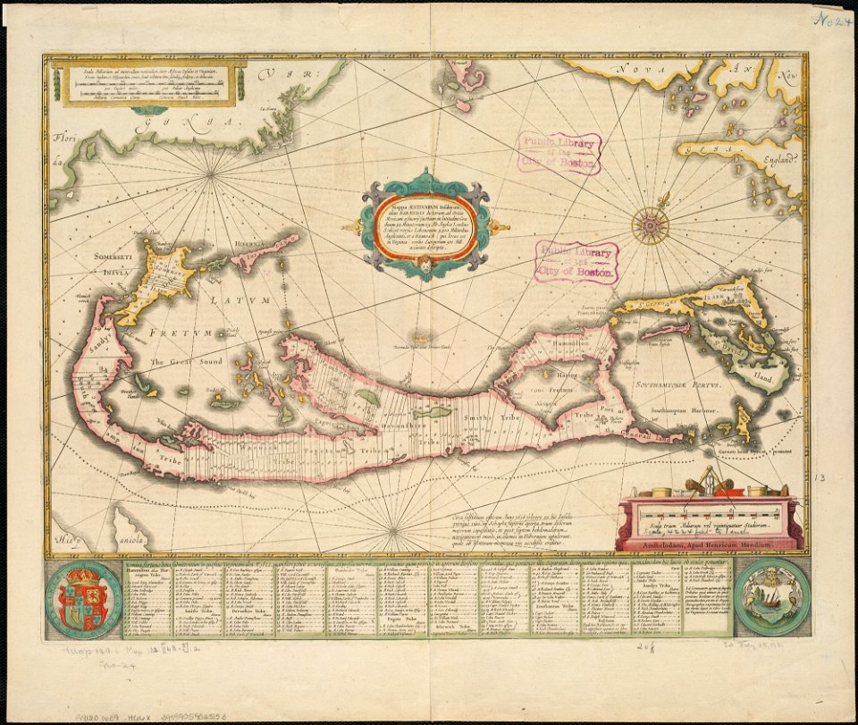
moll's map collection
world map
hell
david rumsey historical map collection
jr
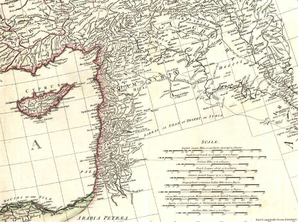
old maps of the iberian peninsula
1780s maps of spain
david rumsey historical map collection
j. and p. knapton
kandahar province
j. and p. knapton
old maps of the middle east
jr
maps of paris from the david rumsey historical map collection
1863 maps
old maps of île de la cité
île saint-louis
historical images of landstraße
palais rasumofsky
military
vehicle
maps by willem and johannes blaeu
latin-language maps
latin-language maps
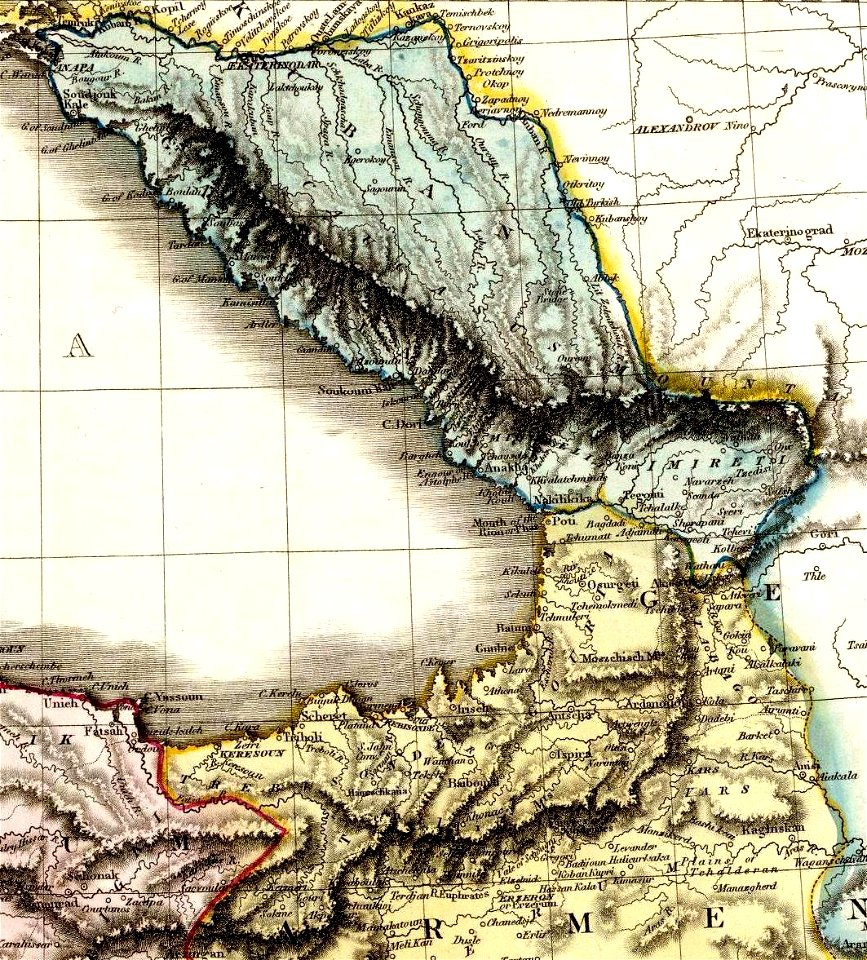
armenian
david rumsey historical map collection
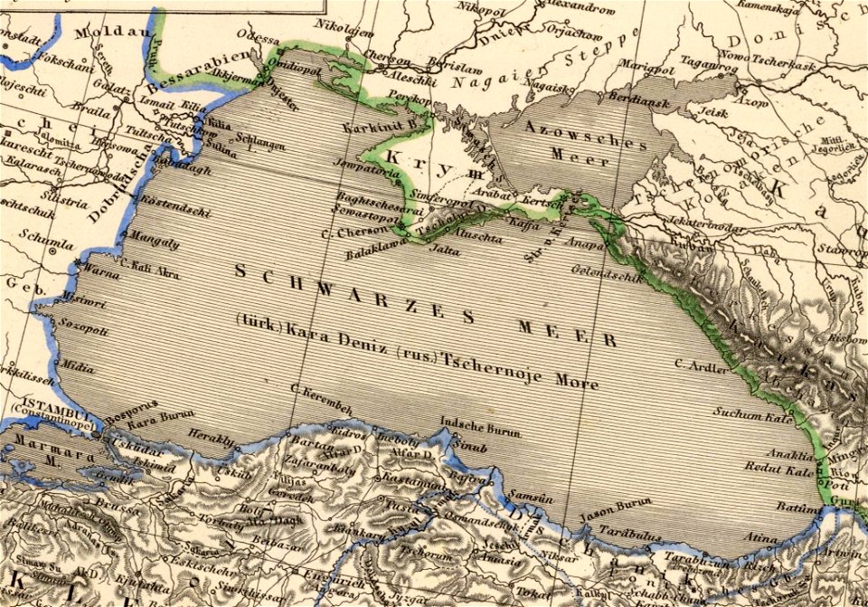
19th-century maps of the black sea
david rumsey historical map collection
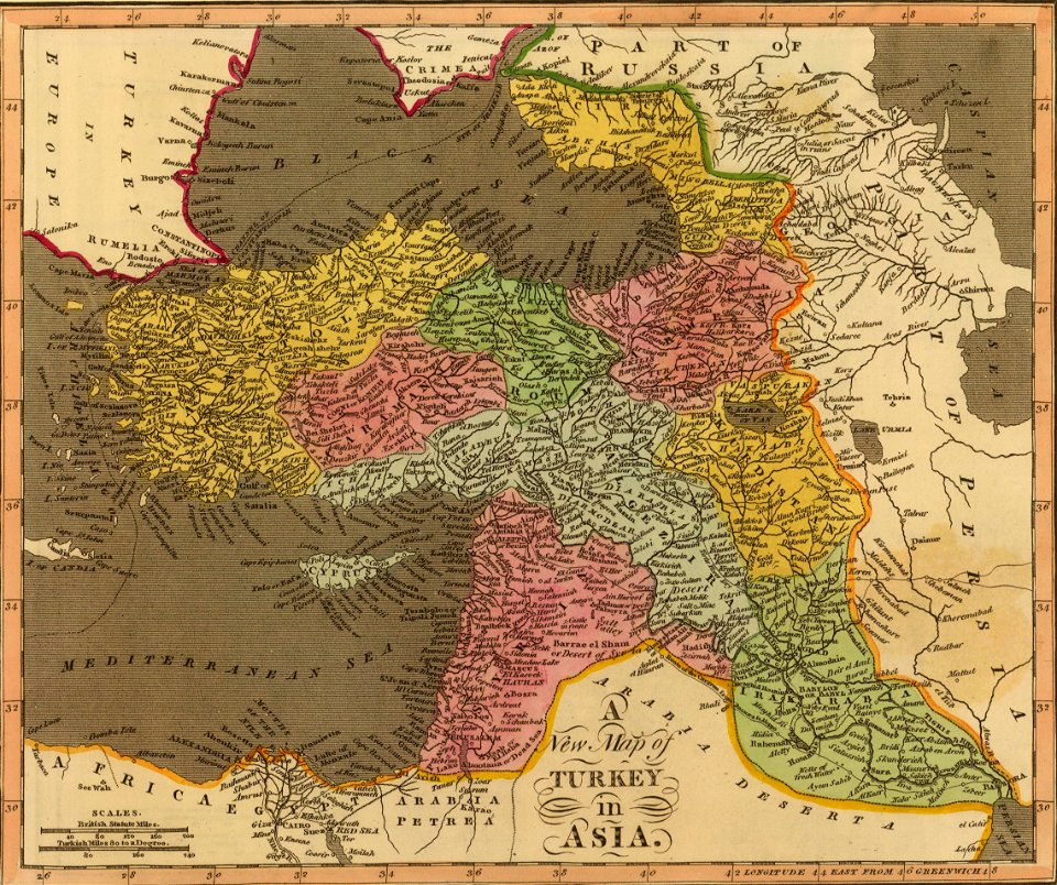
old maps of turkey
david rumsey historical map collection
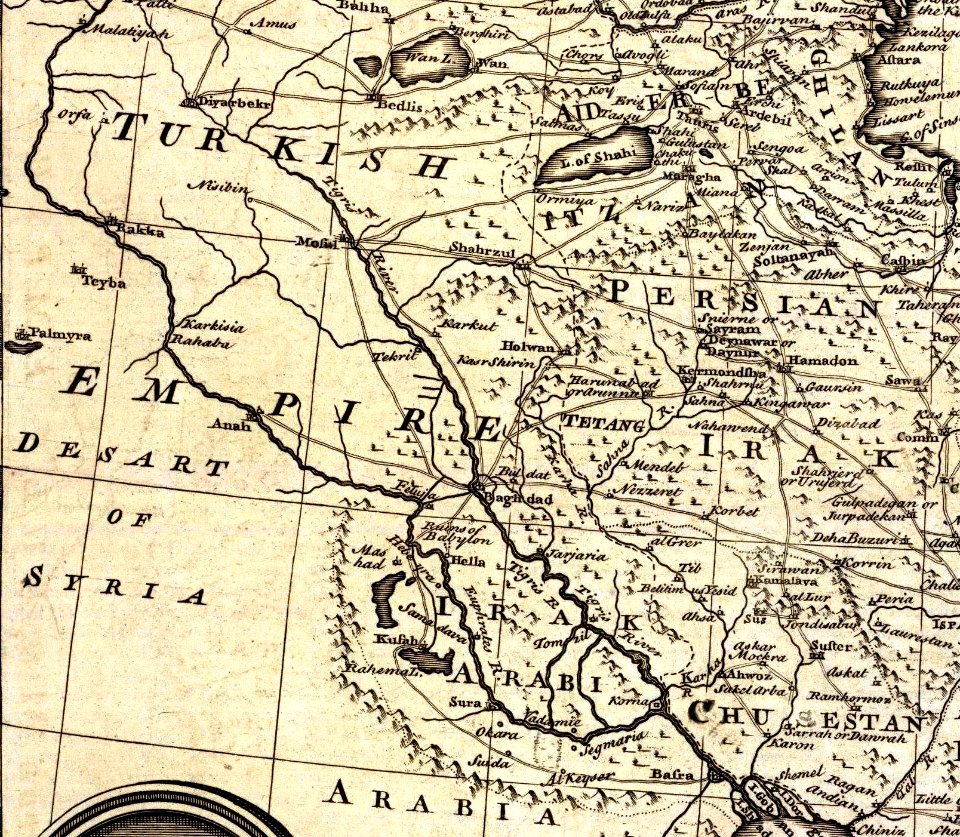
old maps of the middle east
1865 in paris
1865 maps
1886 in paris
1886 maps
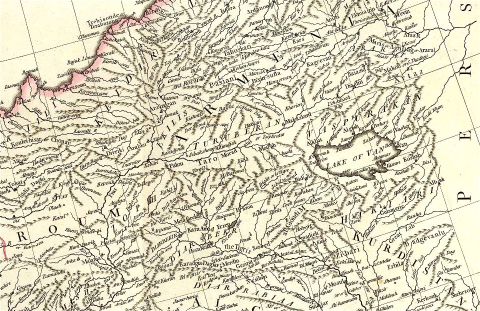
david rumsey historical map collection
j. and p. knapton
david rumsey historical map collection
j. and p. knapton
old maps of the middle east
jr
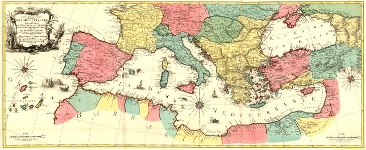
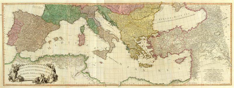
maps of the eastern mediterranean
jr
map images supported by wikimedia uk
1856 maps
maps of paris from the david rumsey historical map collection
1872 maps
history of fashion in paris
paris in the 17th century
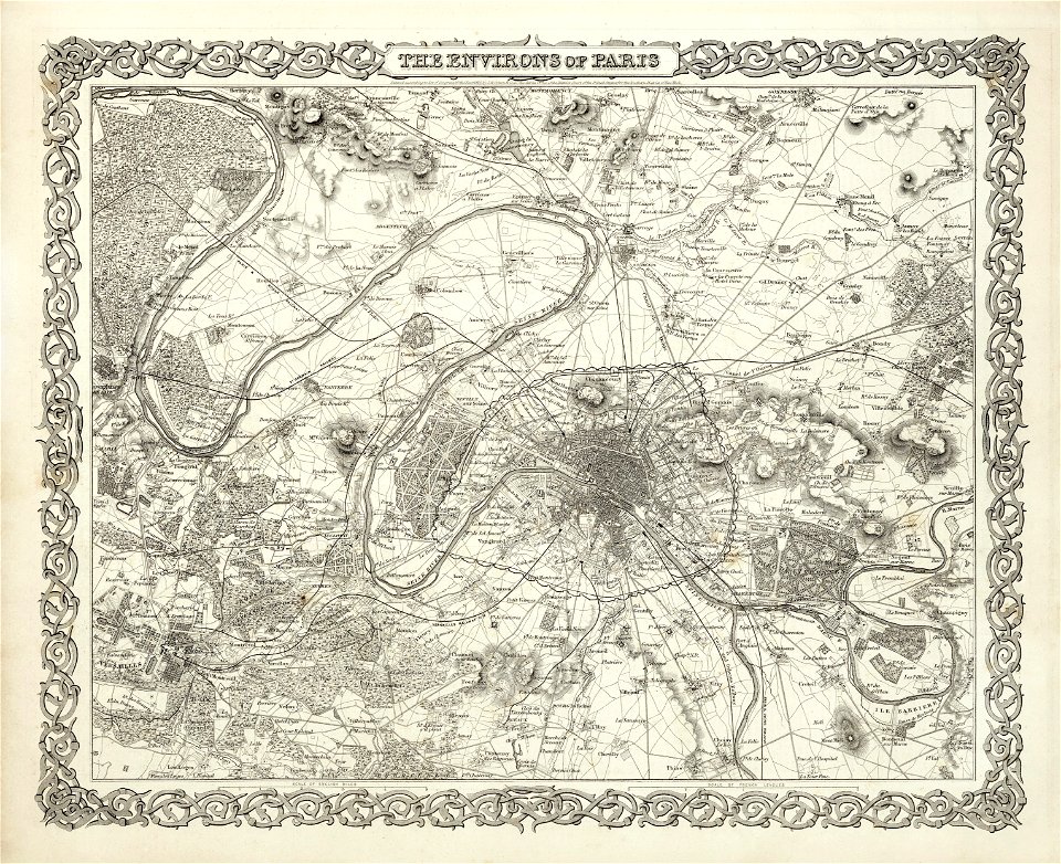
maps of paris from the david rumsey historical map collection
1869 in paris
maps of paris from the david rumsey historical map collection
1866 in paris
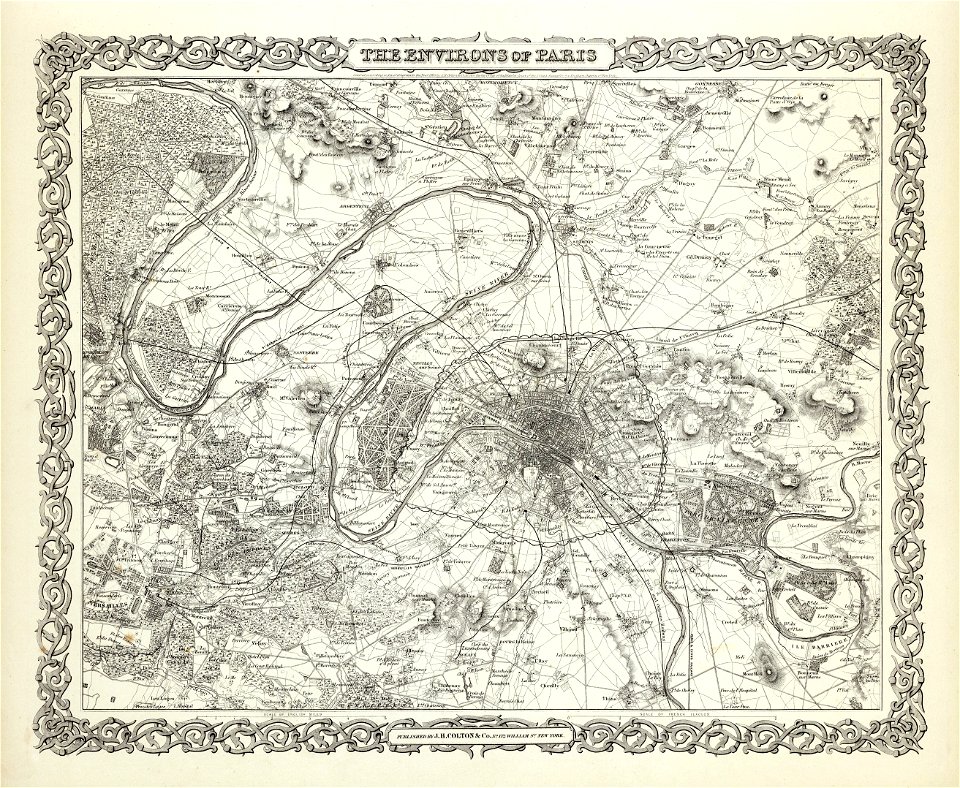
maps of paris from the david rumsey historical map collection
1856 maps
1874 in paris
1874 maps
david rumsey historical map collection
maps with cartouches
military
vehicle
military
vehicle
military
aircraft
military
vehicle
david rumsey historical map collection
jr
david rumsey historical map collection
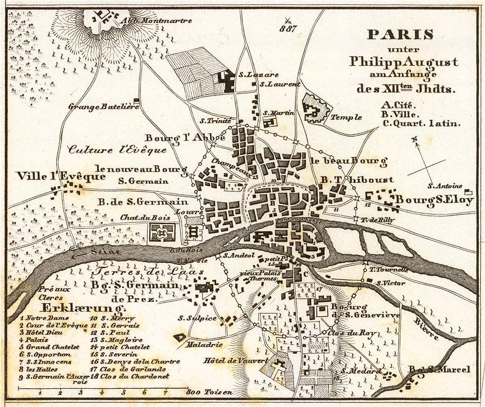
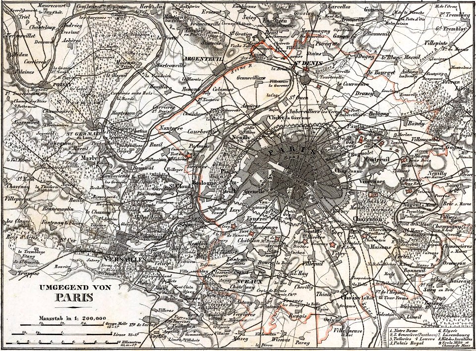
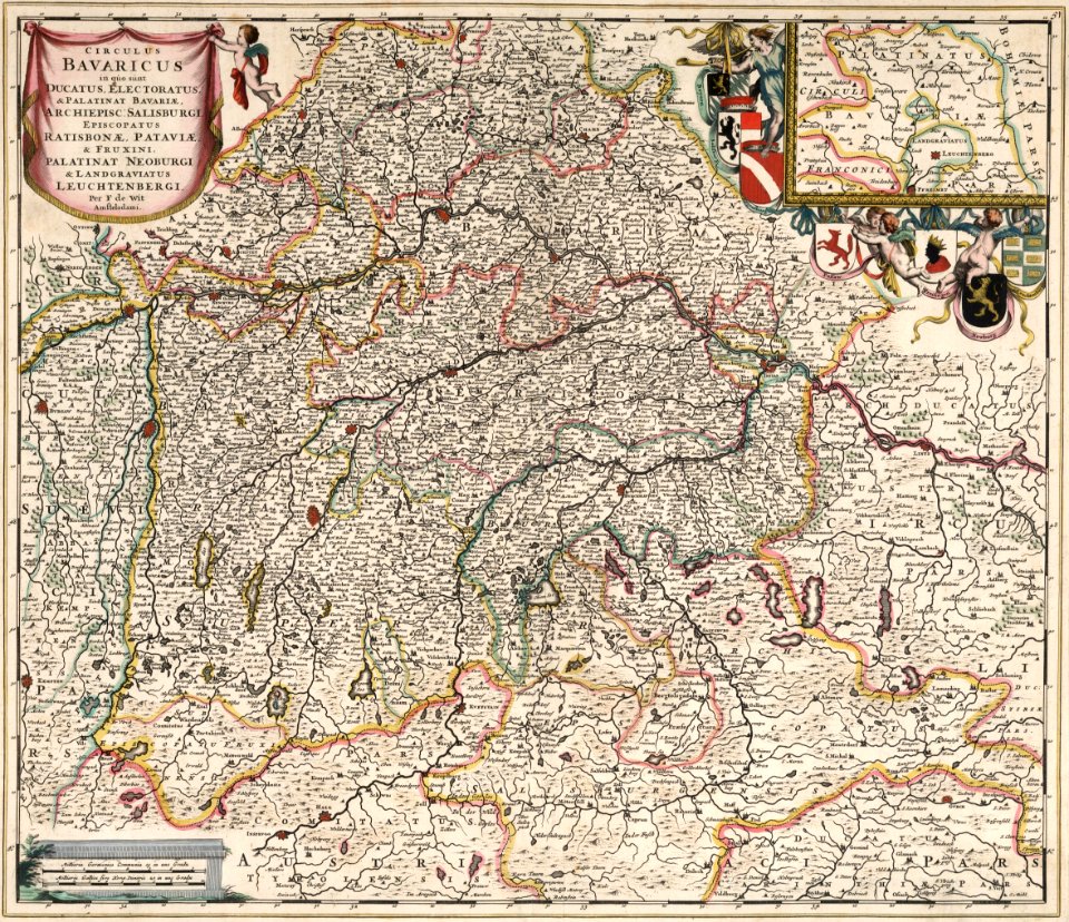
german-language maps
david rumsey historical map collection
german-language maps
david rumsey historical map collection
german-language maps
1101 - 1200 of 5,541
Next page
/ 56